Projects
Projects
A collection of my work in deep learning, geospatial analysis, and forestry engineering, showcasing real-world applications of technology to solve environmental and research challenges.

•Deep Learning Research
OSITY Wood Classification Model
A deep learning model for classifying wood types from recycled materials, developed for the EcoRefibre EU project.
PythonPyTorchOpenCV+4

•Browser-native Analysis Platform
EasyAnalysis
A local-first, browser-native platform for statistics, machine learning, and spatial analysis in one workspace.
RPythonWebAssembly+4
•Web Development
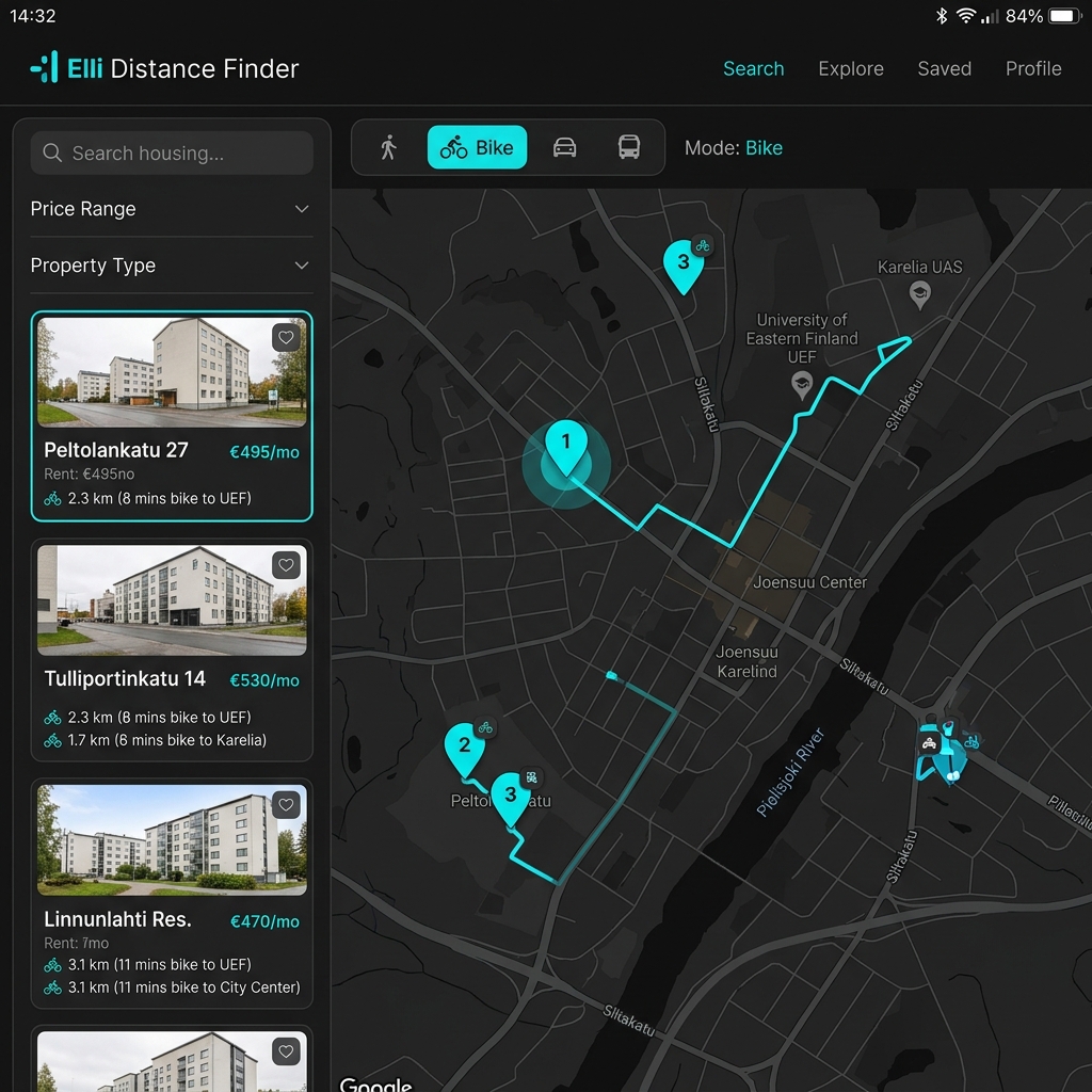
Elli Distance Finder
An interactive, map-based web app that helps university students in Joensuu, Finland compare travel times from Joensuun Elli student housing properties to their campus.
HTML5Vanilla CSSVanilla JavaScript (ES6+)+6
•Geospatial Analysis
Mapping Liberia
A geospatial mapping project using Google Earth Engine to analyze and visualize land cover, forest resources, and environmental changes in Liberia.
Google Earth EnginePythonGeospatial Analysis+2